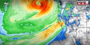
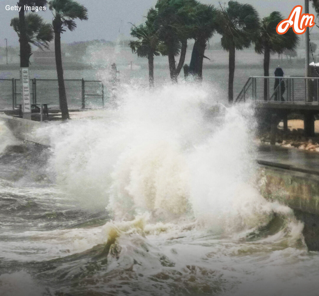
A storm like no other is expected off the West Coast, and it’s about to unleash chaos on the waters. With powerful winds, towering waves, and a rapidly intensifying cyclone, the National Weather Service has issued urgent warnings. A powerful bomb cyclone is brewing off the West Coast, threatening to bring heavy rain, snow, and fierce winds through the week. Meteorologists are sounding the alarm as the storm undergoes rapid intensification, known as bombogenesis.

By Tuesday, November 19, the storm’s pressure will drop by at least 24 millibars in just 24 hours. This rapid intensification means the storm could be severe, bringing stronger effects than typical ones. The bomb cyclone will unleash a long-lasting atmospheric river, sending moisture-heavy rain and snow to Northern California and parts of Oregon. Expect flooding rain and feet of snow in the mountains.
The worst storm will be felt from Tuesday through Friday, with impacts possibly extending into Saturday. Residents in these areas have been warned to prepare for challenging conditions as the storm intensifies.

Northern California and southwest Oregon will experience the heaviest rainfall, with some areas expecting 8 to 12 inches, possibly up to 15 inches. Western Oregon and Washington will see 1 to 5 inches, with the heaviest amounts along the coast and foothills. The rain could lead to flooding in areas with poor drainage and potentially cause rivers and creeks to overflow. Mudslides remain a concern, especially near recent wildfire burn zones. Rock slides are also possible along mountain roads.

The storm will dump feet of snow in the higher elevations of the Cascades and Siskiyou Mountains. Snow levels will rise throughout the week, creating difficult travel conditions, especially on mountain passes. Snoqualmie Pass on Interstate 90 in Washington and Siskiyou Pass on Interstate 5 near the Oregon-California border will be particularly affected.

The strongest winds are expected late Tuesday through early Wednesday, with gusts over 60 to 70 mph along the coast in Northern California, Oregon, and Washington. Stronger gusts will also impact inland areas, including the Cascades and foothills. Power outages and fallen trees are possible. After the peak winds pass, gusty conditions will persist for the rest of the week. The National Weather Service has issued urgent warnings and advisories as a powerful bomb cyclone moves into the region. The storm is expected to bring a mix of heavy rain, snow, and fierce winds, creating hazardous conditions across the area.

The small craft advisory remains in effect until 9 a.m. PST Tuesday. Mariners have been warned of southwest winds ranging from 10 to 20 knots, gusting up to 30 knots, with seas reaching 13 to 14 feet. Mariners are strongly advised to stay in port or take extra precautions to secure their vessels for these severe conditions. The Storm Warning is in effect from 9 a.m. Tuesday to 3 a.m. PST Wednesday, where the storm will bring dangerous south winds between 30 to 50 knots, with gusts peaking at 70 knots.
